Development of Satellite Cameras throughout the Last 50 Years
Ever since the launch of the world’s first satellite known as Sputnik 1, remote sensing capabilities have been developing rapidly, boosting the world’s understanding of everything from climate change data to agriculture. We’ve gone from acquiring a few low-resolution images to the ability to get tens of terabytes of data daily from a satellite. Since the epic Sputnik moment in 1957, hundreds of types of satellite cameras have been developed. So, what does a satellite camera look like today? We look at the development of satellite cameras throughout the last 50 years. Let’s find out more.
Starting off
It all started when the infamous Sputnik 1 was able to complete a full circle around the Earth every 96 minutes, transmitting radio signals. A month later, Sputnik 2 was launched, followed by Explorer 1 and Vanguard 1 in 1958 on the American side. The latter had some sophisticated technology with satellite camera quality that gave scientists the ability to monitor upper atmospheric density. Soon Vanguard 2’s cameras were able to provide detailed pictures of cloud cover. The first televisual footage of weather patterns came from the satellite TIROS-1, launched in 1960. This was just the beginning.
New sensors оn satellite cameras
Between 1960 and 1980, the focus was on developing multispectral camera sensors. This was largely stimulated by the declassification of military satellites, which used both microwave and infrared bands to make observations. One of the key satellites between this period of time was NASA’s Landsat. So, in this case, how does a satellite camera work? Launched in 1972, the cameras were able to monitor huge areas of the Earth and make accurate pictures of land by measuring infrared and visible wavelengths of the electromagnetic spectrum. It was a game-changer, with high spatial resolutions that had a multitude of practical applications.
Adaptations in technology
The 1980s was the period when existing technology became significantly adapted, plus a number of new pieces of landmark technology were produced, such as hyperspectral sensors, multi-angle spectrometers, and spaceborne radar, to name a few. Only in the last two decades had the world seen a satellite camera in space that could make use of microwave images. This type of camera sends out radar pulses, measuring their reflectance to ultimately make images of the Earth. Synthetic aperture radar allowed the world to sense cloud cover without the use of daylight by measuring time delays between return and emission.
Satellite cameras from the 90s till today
Ever since the early 90s, two remote sensing trends have had a pivotal impact on camera development and design. The European Space Agency and NASA focused their Earth observation resources on large multi-sensor type platforms, each sensor focusing on a specific part of Earth monitoring. In 2002, Aqua was the first spacecraft to feature such technology.
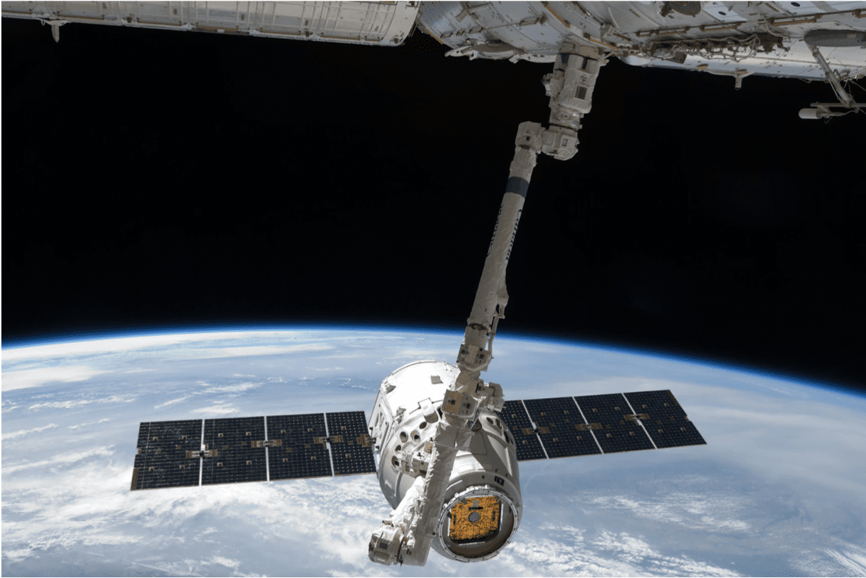
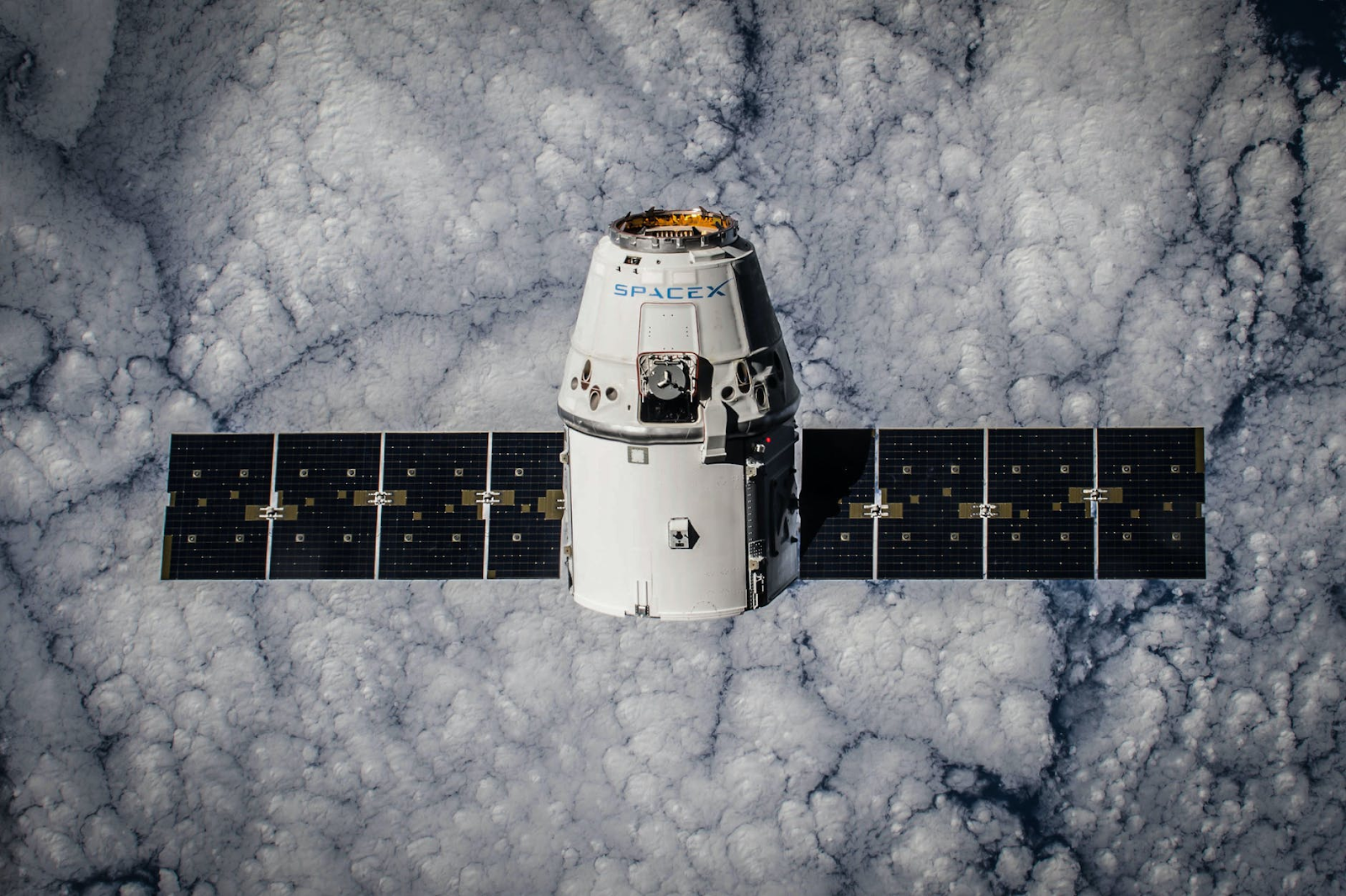
The second trend was developing national satellites that are much smaller and cheaper, decreasing the size of satellite cameras. It’s a trend that is ongoing today. The vast majority of these types of satellites have been modeled based on the Landsat type. Both launch costs and instrument costs have fallen significantly, giving lower-income countries the ability to make use of satellite camera technology to work on their own remote sensing projects instead of relying on acquiring data from third parties.
This second trend shows no signs of slowing down – the number of small satellites for Earth observation is going to increase throughout the future, especially given the economic and commercial opportunities available from launching such satellites. Small satellites operated by commercial companies can collect images on demand for per-item fees, offering a variety of different operational modes.
Final Thoughts
Throughout the last 50 years, we’ve seen a rapid development of remote sensing technology. In this day and age, it is a multidisciplinary research field with all sorts of theoretical, practical, and commercial applications. While there are some niggles in the way of remote sensing becoming a fully cross-disciplinary global data source, as technology gets better and cheaper, things will become more global. What is certain is that a continuing increase in computer power and a decrease in costs will make satellite camera technology more affordable and manageable. It will be particularly exciting for low-income countries – satellite cameras will provide crucial benefits and play their part in bringing economic prosperity.